Villas in Enontekiö
Enontekiö suits hikers, skiers and northern lights watchers who want real remoteness in the far north-west of Finnish Lapland. The municipality is huge and the homes are scattered across it, so check the nearest village before you book.
- Villas
- 35
- From, per week
- £523
About Enontekiö
Enontekiö is a municipality rather than a single town, covering about 8,400 square km with around 1,800 residents, and our homes are scattered across it. Hetta, with about 530 people, is the administrative centre and lies just north of Pallas-Yllästunturi National Park. Kilpisjärvi, far to the north, sits below Saana fell near where Finland, Sweden and Norway meet. Halti, at 1,324 m, is Finland's highest point. Nearly every home here has a sauna and most have a fireplace, while Wi-Fi is not a given. Reindeer herding is central to local life, with about 20,000 semi-domesticated reindeer, so you may meet them on the road.
Is Enontekiö right for you?
- Best for
- Hikers and skiers wanting remote fell country
- Not for you if
- You want shops, restaurants and an airport close by, because villages are small and far apart.
Near Enontekiö
Hetta
The municipal centre, with the Fell Lapland Nature Centre for hiking information and permits, a ski resort and husky tours.
Pallas-Yllästunturi National Park
Just south of Hetta; a 55 km hiking trail runs from Hetta to the central areas of the park.
Kilpisjärvi
Lake and village far north near the three-country border point, below Saana fell, with the northern lights over the frozen lake in winter.
Getting to Enontekiö
Kittilä airport, about 150 km from Hetta, has flights all year. Enontekiö's own airport, 6 km west of Hetta, mainly handles charters, with direct Helsinki flights in the late-winter high season. Rovaniemi to Hetta is about four hours by road. You need a car, as distances are long and Hetta lies 25 km off the main E8 road.
When to go to Enontekiö
The midnight sun runs from May to August, when days can last 24 hours. Winter brings the northern lights over frozen lakes, and skiing stays good until early May. Cross-country tracks around Hetta usually open in November. The Nature Centre opens daily in season but only on weekdays otherwise, so check opening times before you travel.
Villas in Enontekiö
4-star property
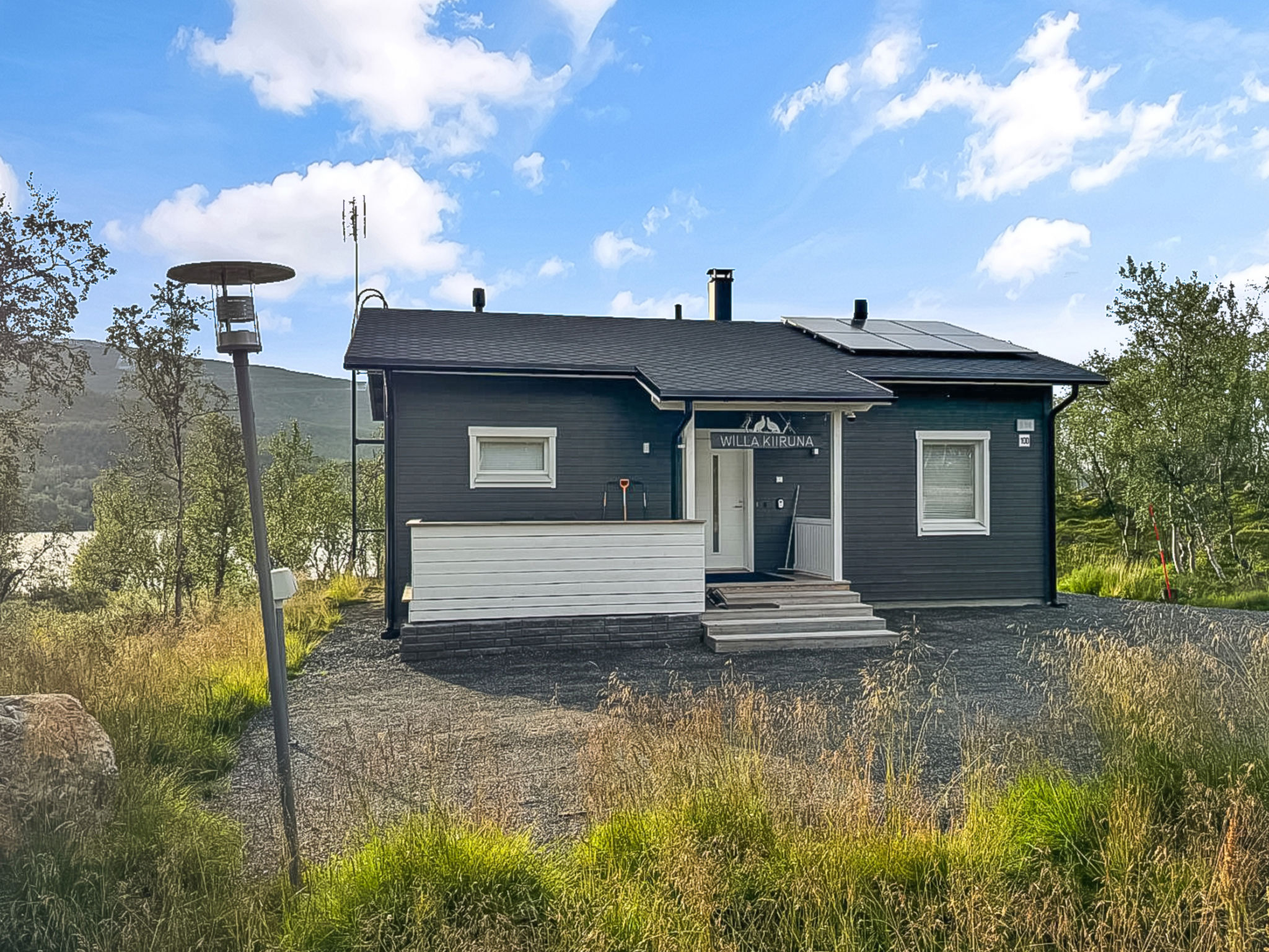
Willa kiiruna
Enontekiö, Lapland, Finland
6
2
0
BBQDishwasherFireplace+9 more
from£173
per night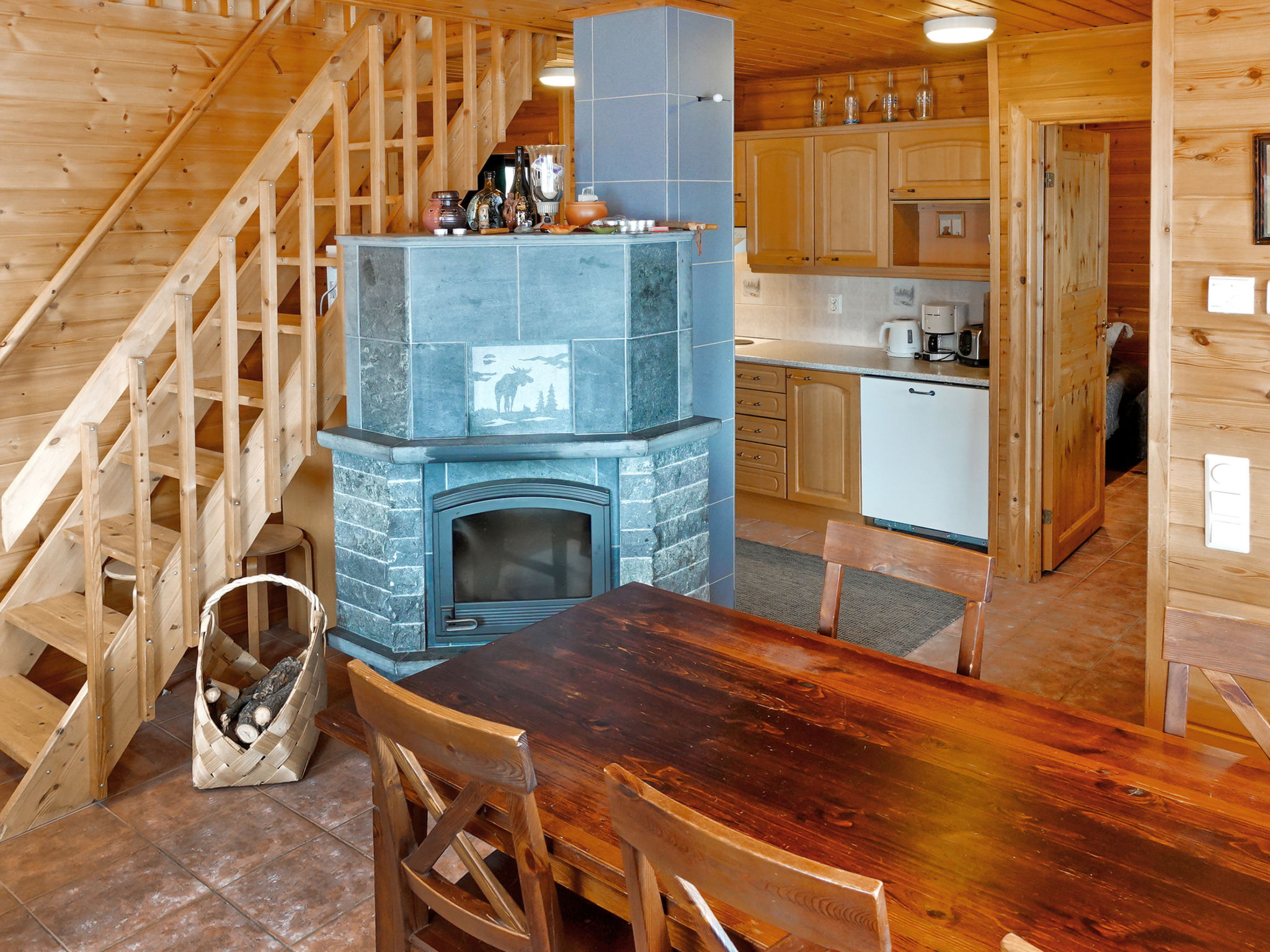
3-star property
4-star property
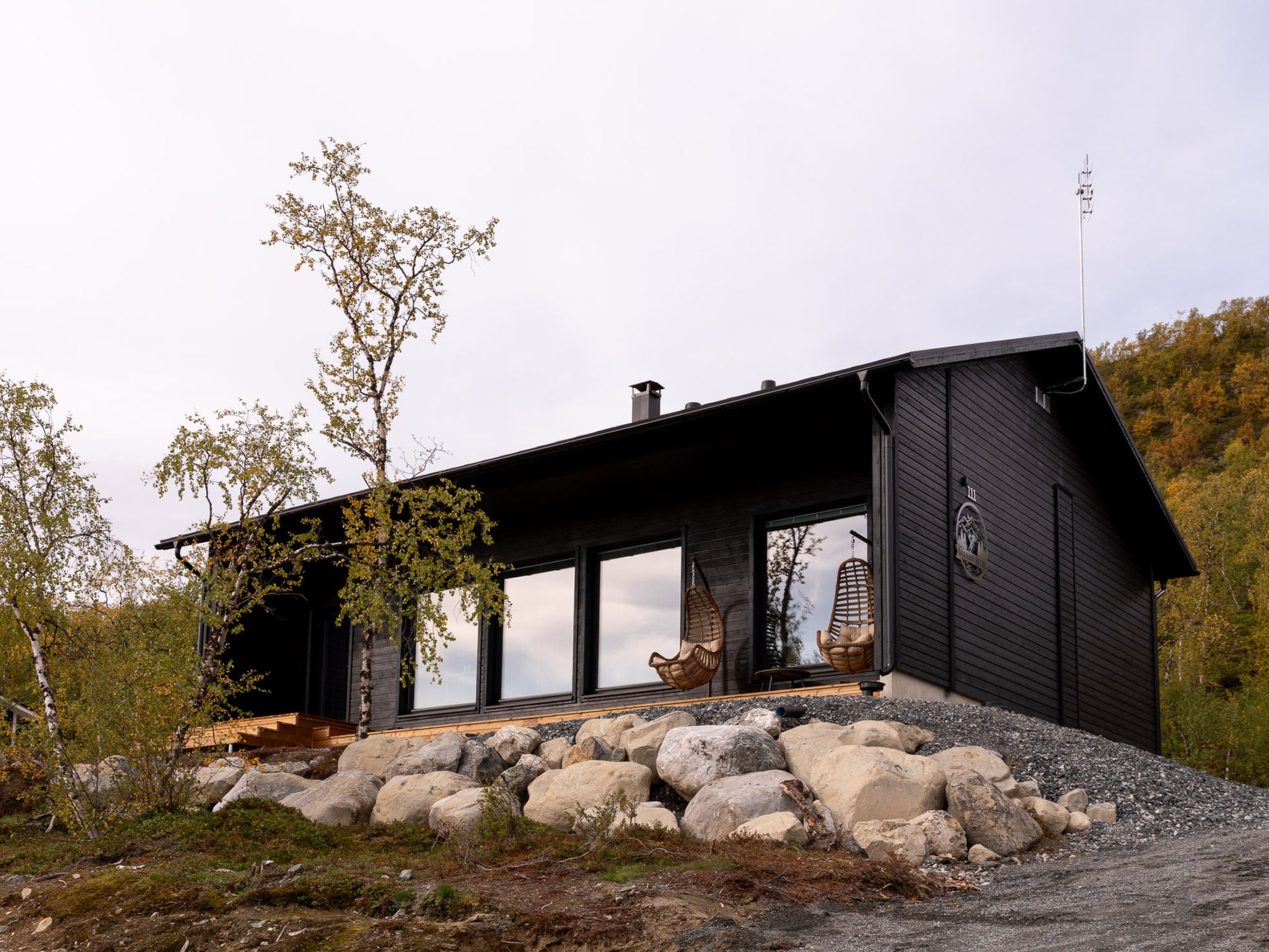
Saanan helmi
Enontekiö, Lapland, Finland
6
3
0
DishwasherFireplaceMicrowave+8 more
from£264
per night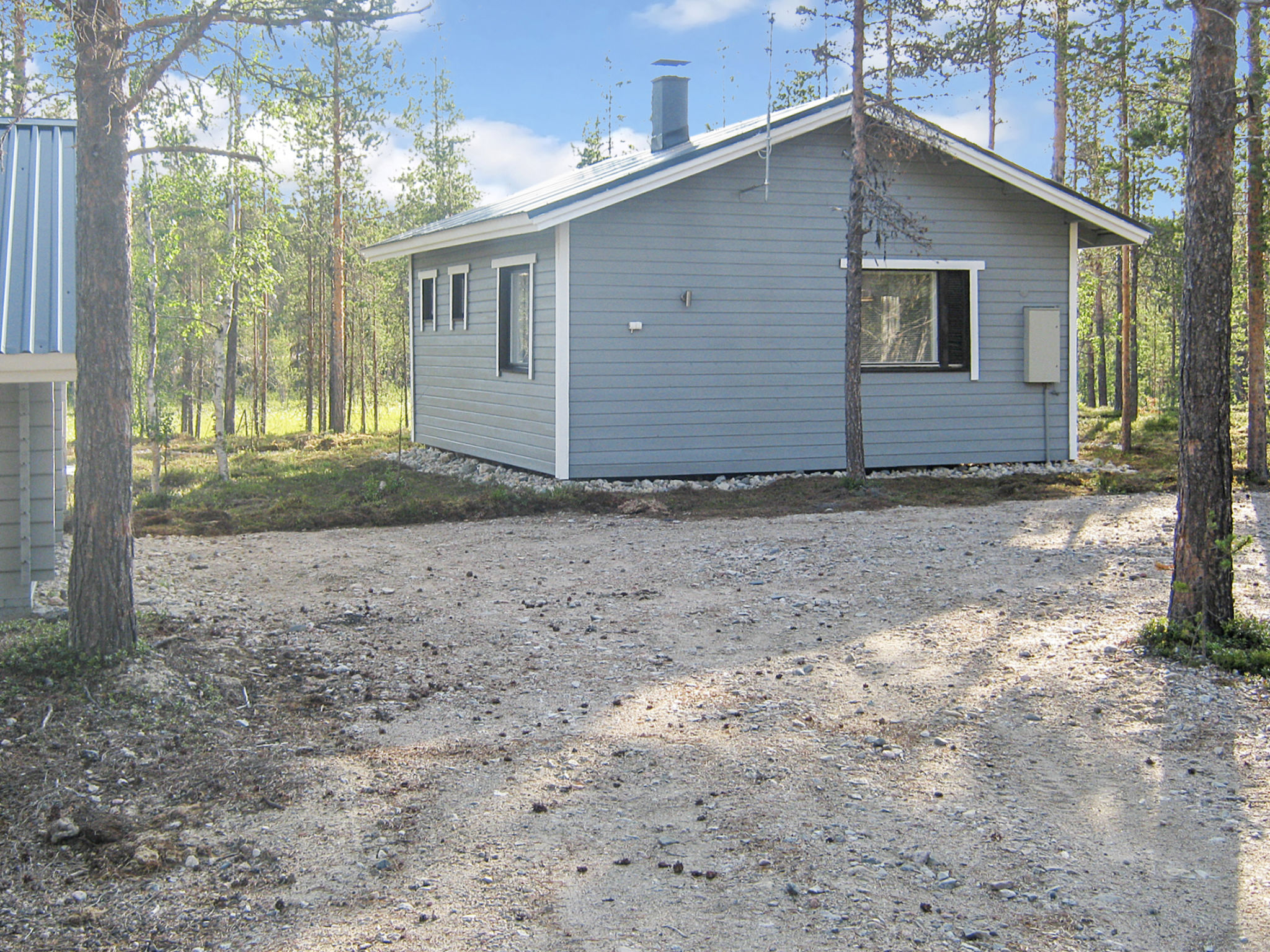
2-star property
4-star property
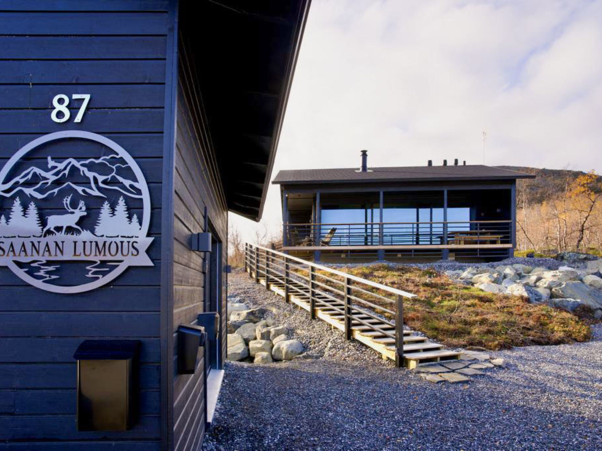
Saanan lumous
Enontekiö, Lapland, Finland
4
2
0
DishwasherFireplaceMicrowave+8 more
from£198
per night
3-star property

2-star property
4-star property

3-star property
4-star property
Ylikyrön mökki
Enontekiö, Lapland, Finland
5
2
0
DishwasherFireplaceMicrowave+5 more
from£108
per night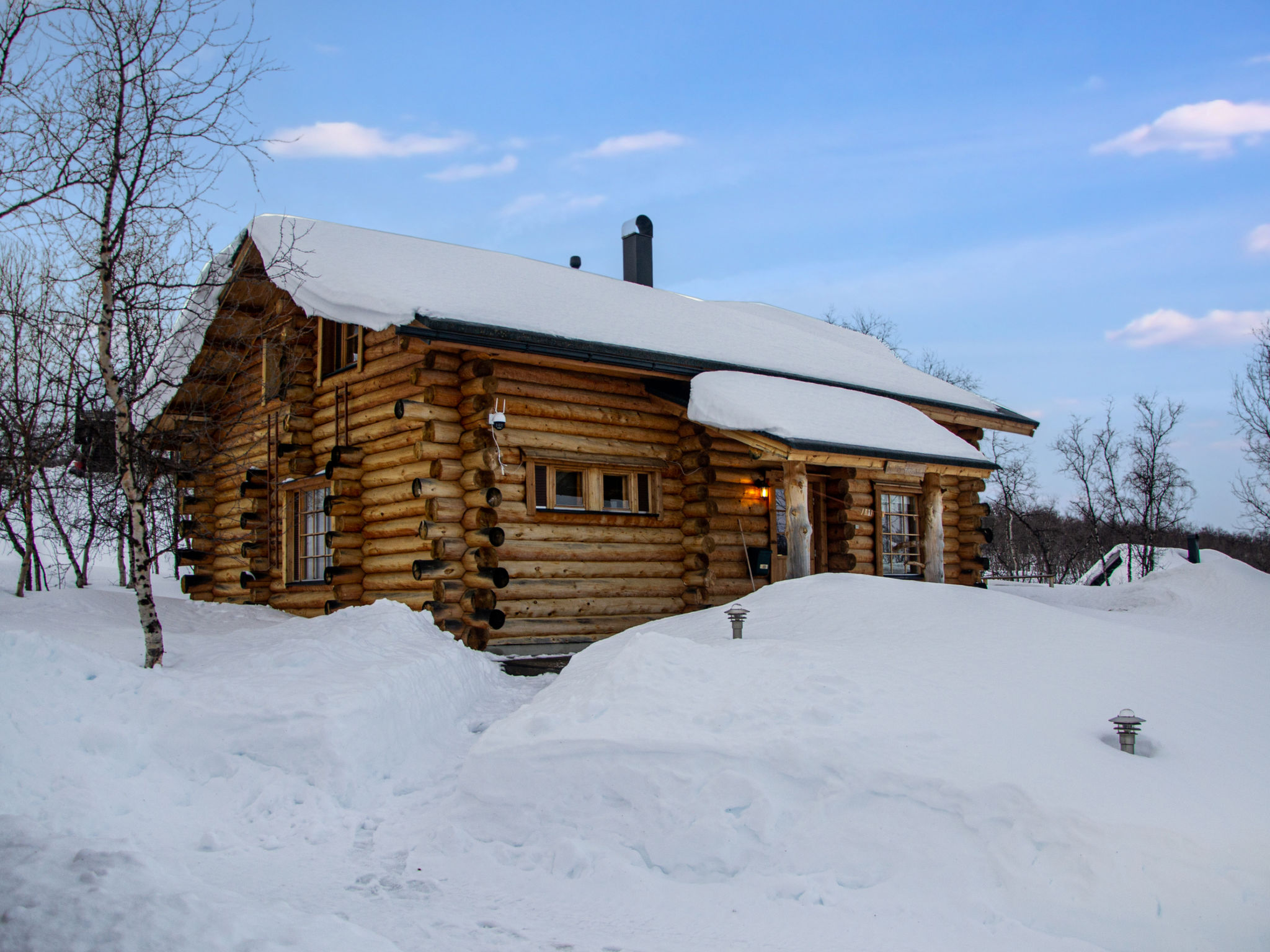
3-star property
Kilpis-arkki
Enontekiö, Lapland, Finland
11
4
0
DishwasherFireplaceMicrowave+7 more
from£137
per night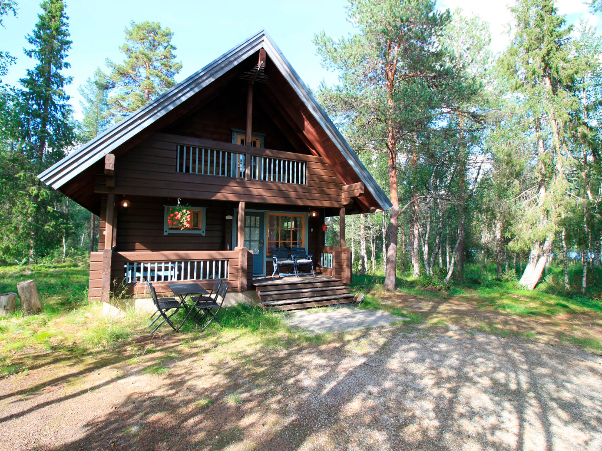
3-star property
Marjatan mökki
Enontekiö, Lapland, Finland
4
1
0
DishwasherFireplaceMicrowave+6 more
from£78
per night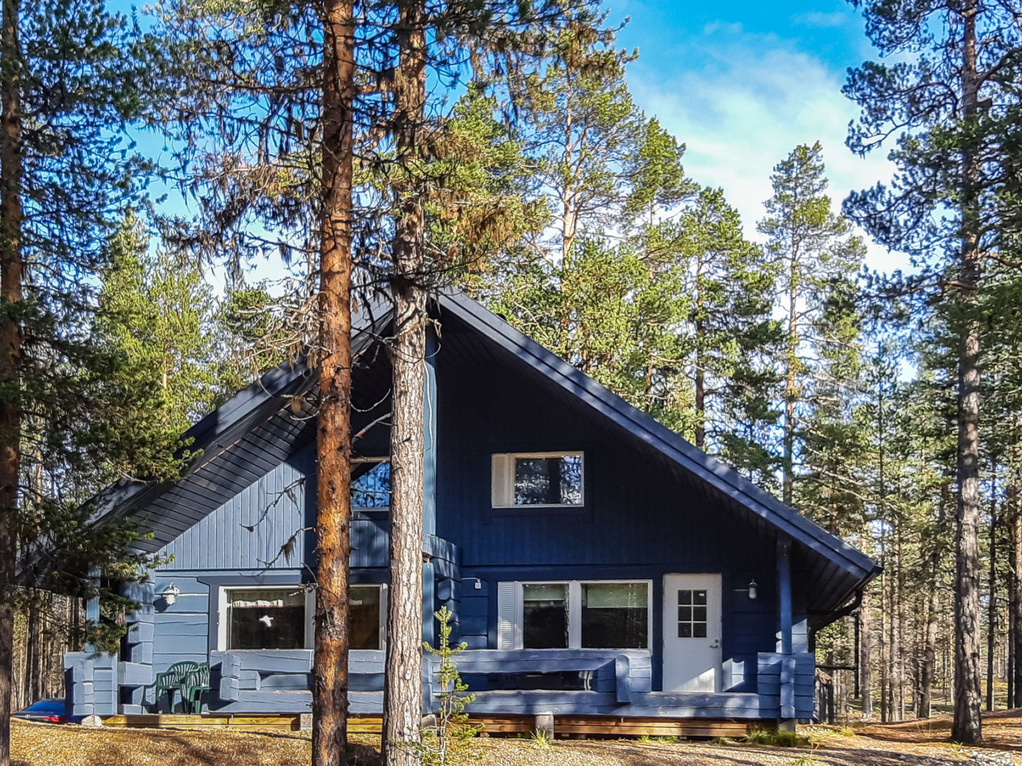
3-star property
Antin mökki
Enontekiö, Lapland, Finland
8
3
0
DishwasherFireplaceMicrowave+5 more
from£99
per night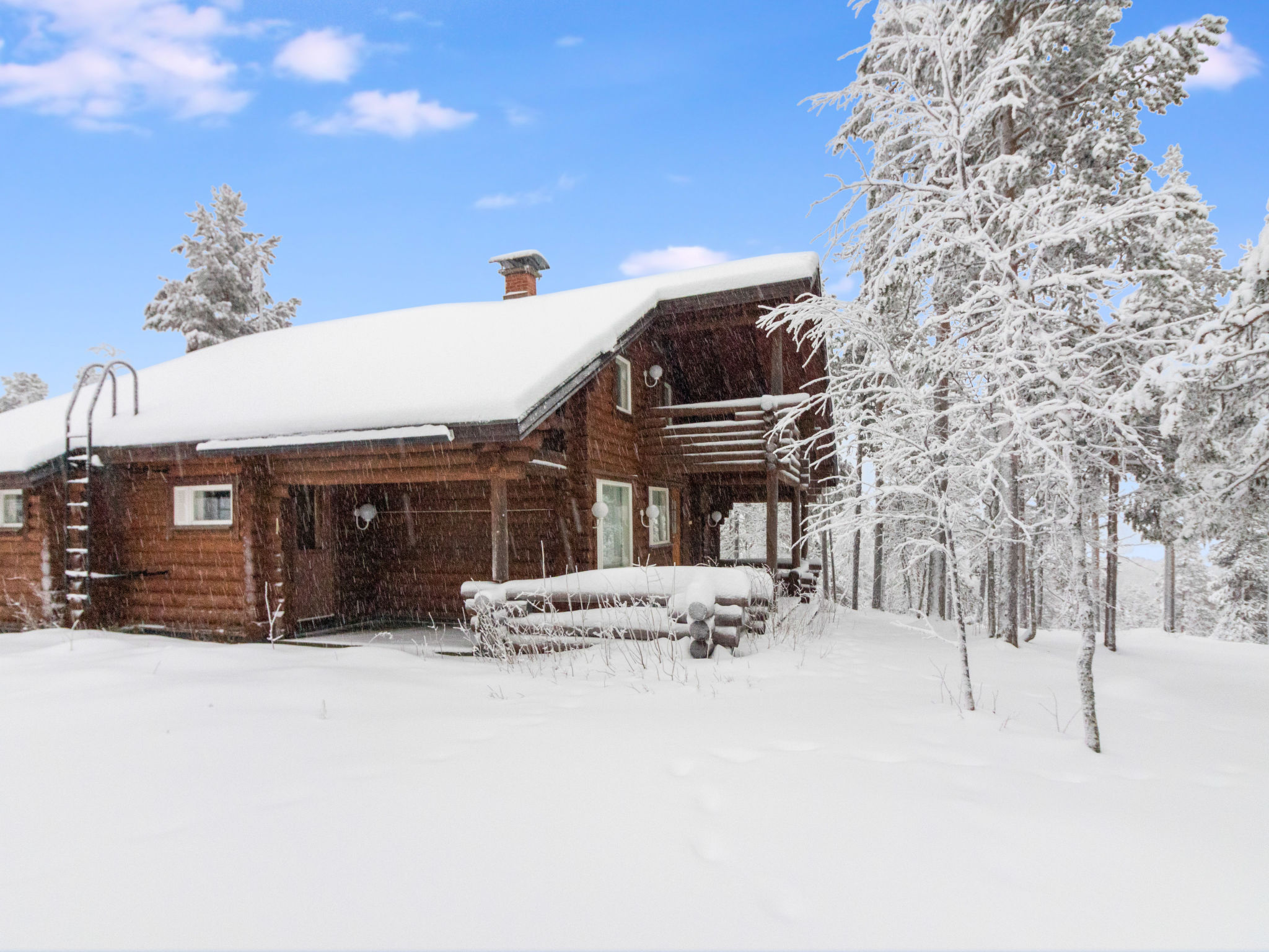
3-star property
Salvostie 13, hetta
Enontekiö, Lapland, Finland
9
4
0
DishwasherFireplaceMicrowave+5 more
from£189
per night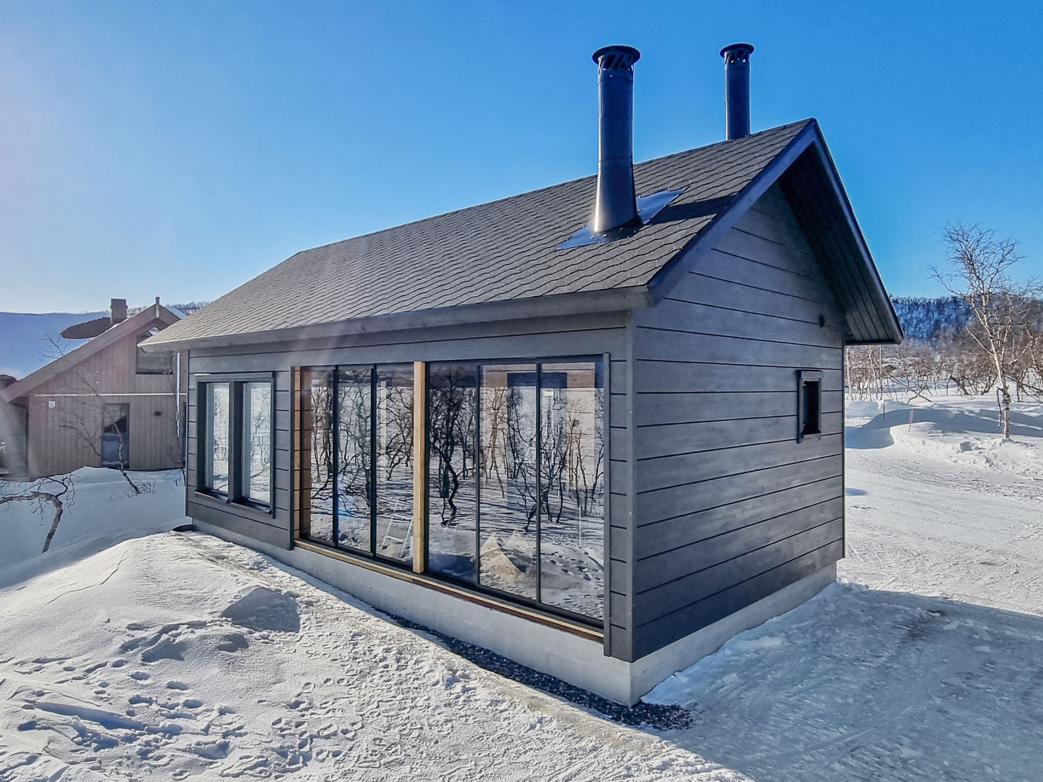
3-star property
3-star property
4-star property
3-star property
Luongasloma 2
Enontekiö, Lapland, Finland
6
2
0
BBQDishwasherFireplace+5 more
from£173
per night
3-star property
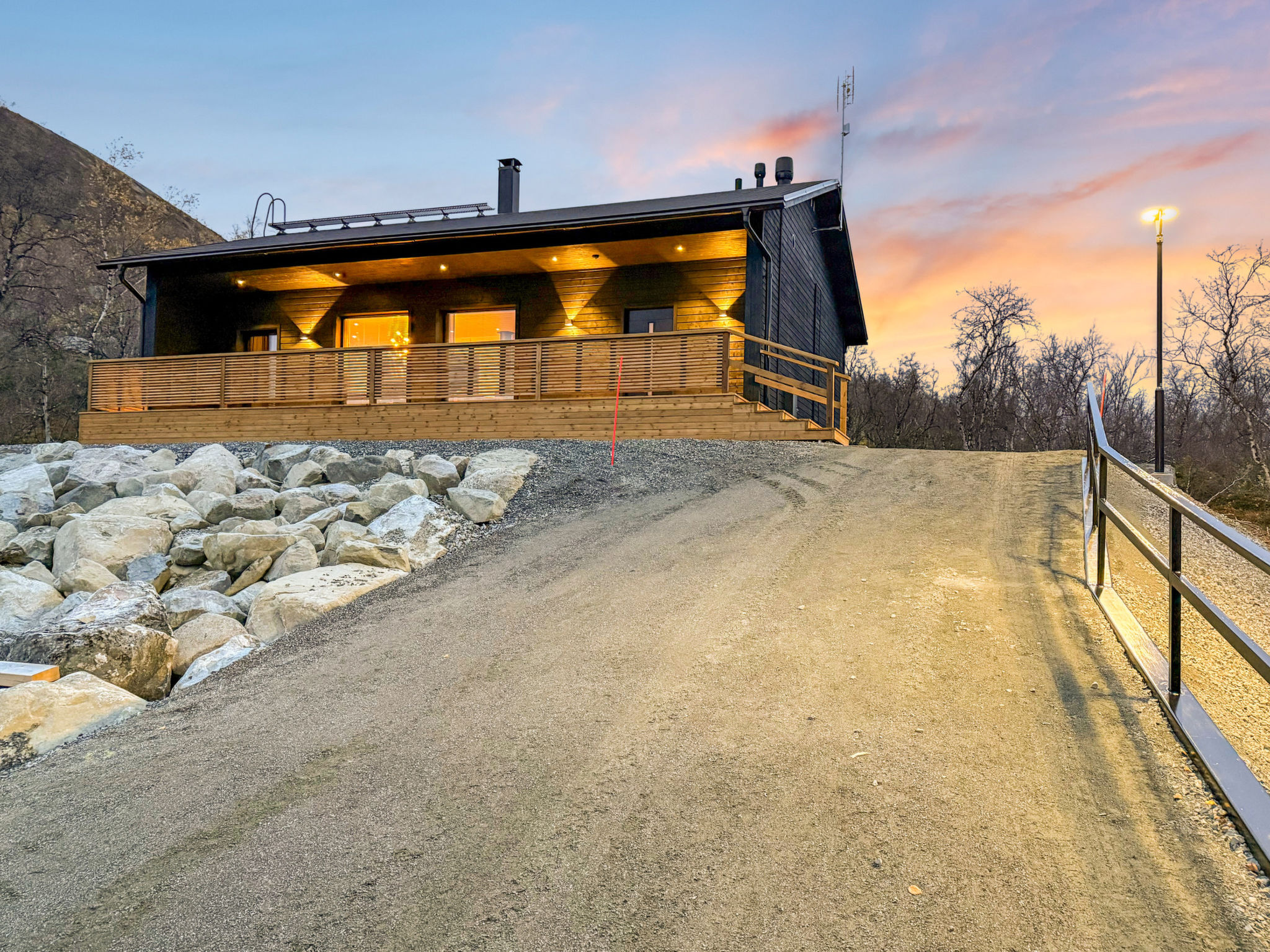
4-star property
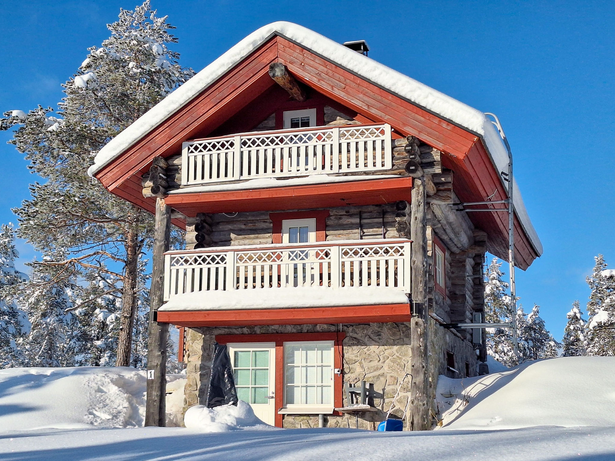
3-star property
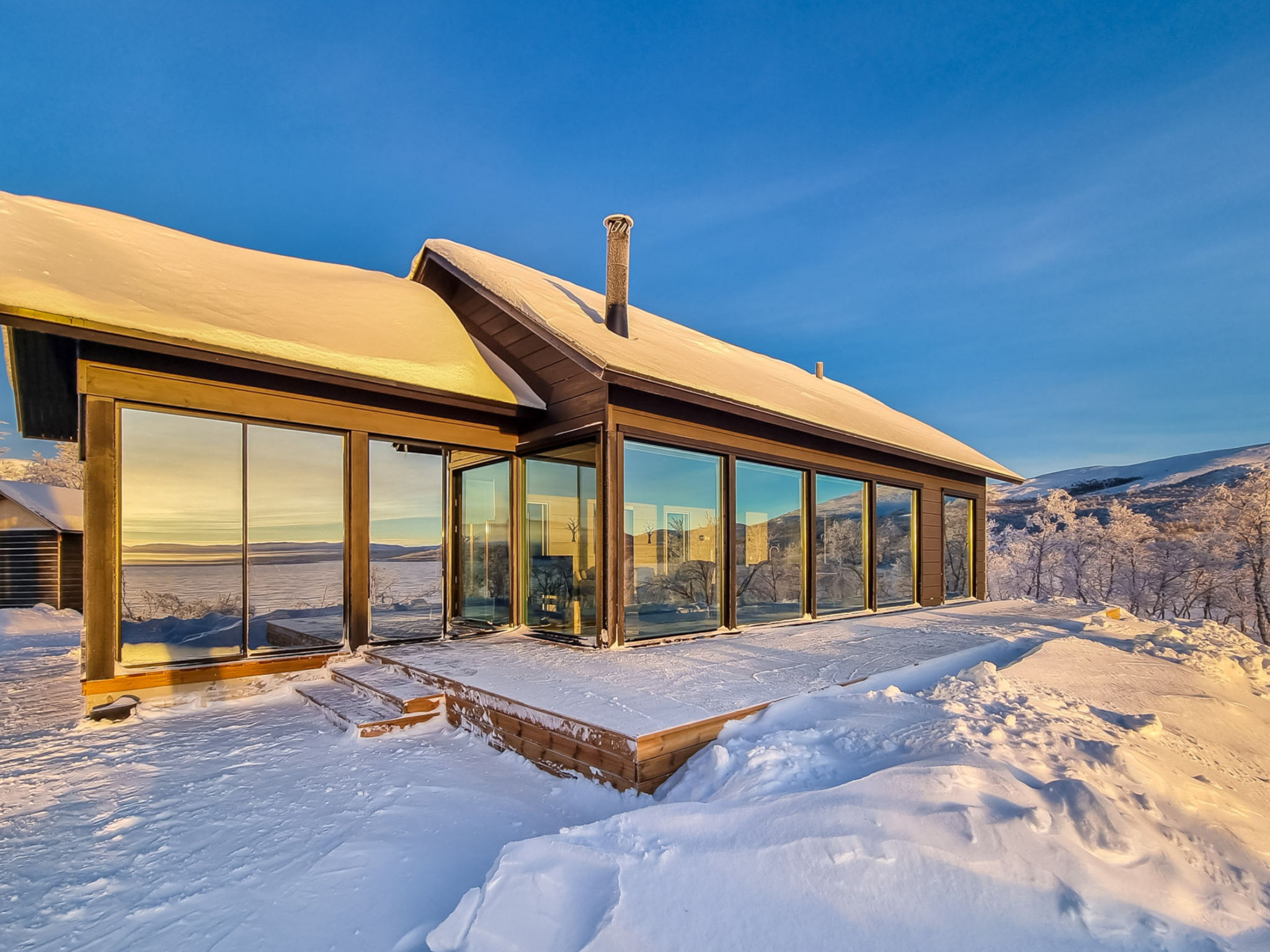
4-star property
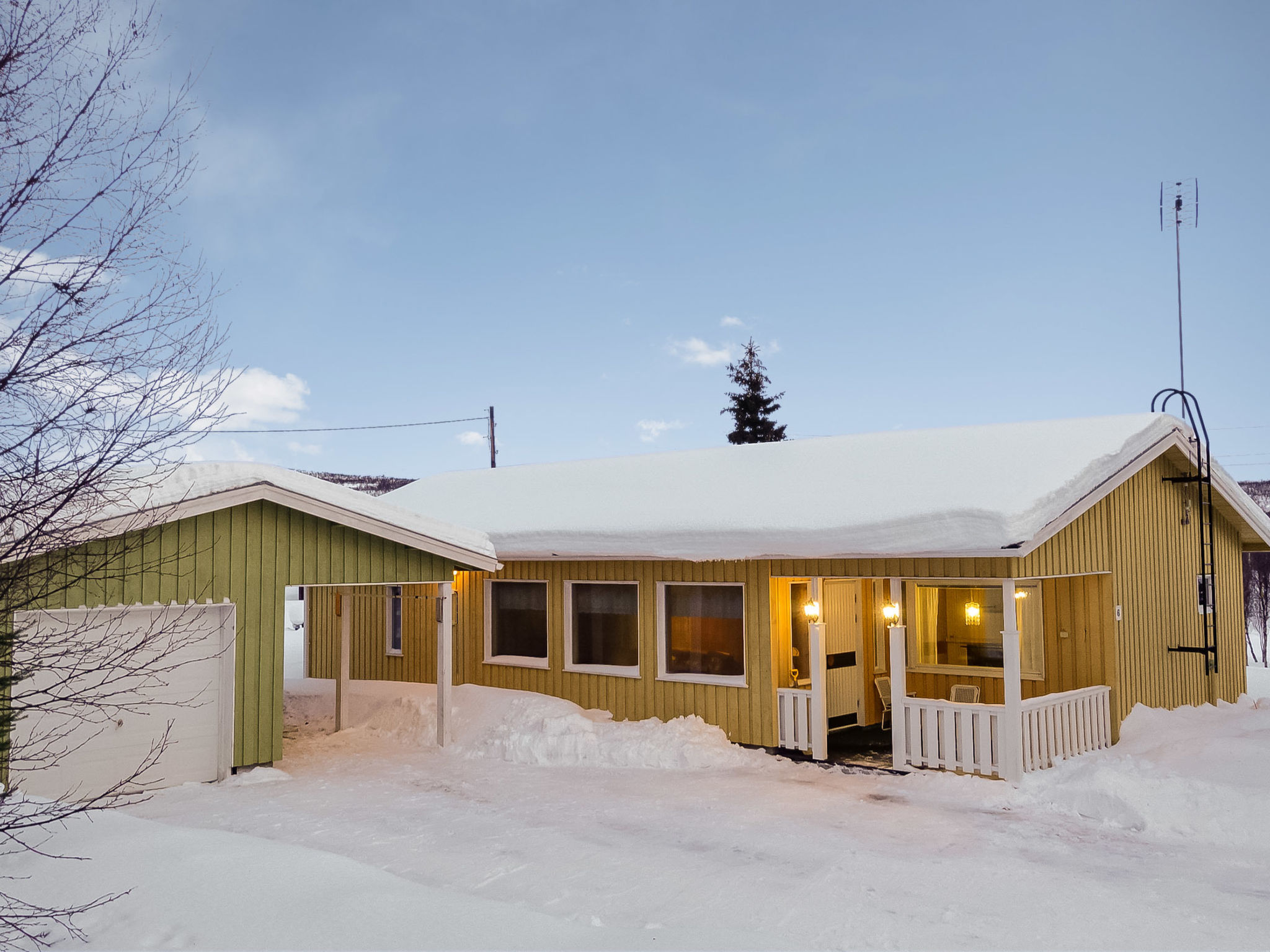
3-star property
3-star property
Enontekiö villa holidays: questions answered
Where exactly is Enontekiö?
In the far north-west of Finnish Lapland, bordering Sweden and Norway. It is a huge municipality of about 8,400 square km, and the villages of Hetta and Kilpisjärvi are far apart, so check the address.
Is Enontekiö good for the northern lights?
It is a good place to look, since the area is far north and aurora shows over frozen lakes such as Kilpisjärvi in winter. No place can promise a display, so allow several nights.
How far is Enontekiö from Kittilä airport?
Kittilä airport is about 150 km from Hetta, around two hours by road. Kittilä has flights all year, while Enontekiö's own airport mainly serves winter charters.
Can you hike from Hetta to Pallas in Enontekiö?
Yes, a 55 km trail runs from Hetta to the central areas of Pallas-Yllästunturi National Park. The route is described as old and fairly easy, but plan huts and supplies carefully.
Is Enontekiö crowded?
No. About 1,800 people live across roughly 8,400 square km, one of the lowest population densities in Finland, so the fells and trails are quiet outside peak holiday weeks.
Nearby towns to Enontekiö
Written by the TrustedVillas team. Last reviewed October 2026.
Find Your Perfect Villa in Enontekiö
Our villa experts are here to help you find the ideal property for your vacation. Contact us for personalized recommendations.